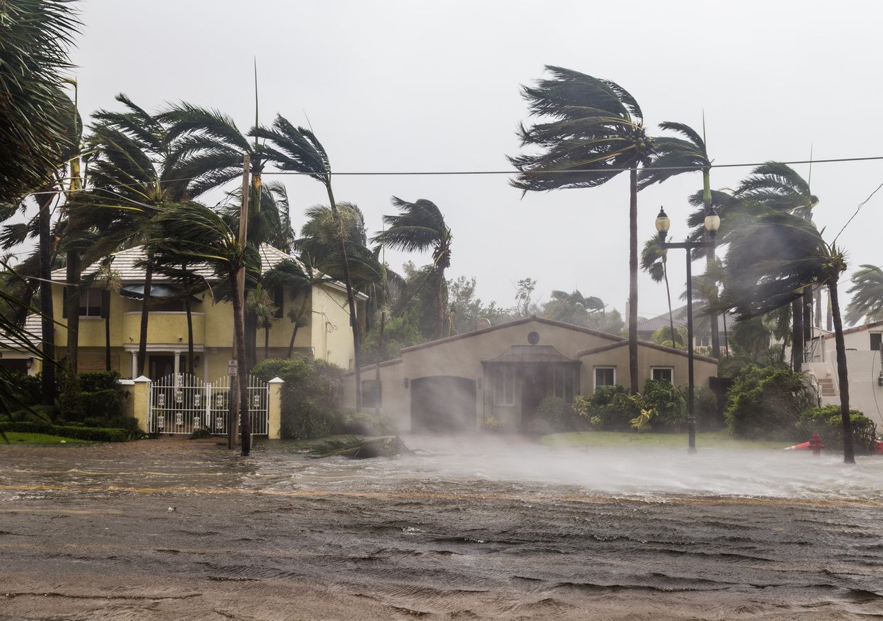
In recent months, temperatures in the Atlantic Ocean have reached record levelsThis is a general and ongoing situation. This fact is of great concern to meteorologists, considering that we may be on the verge of a La Niña event.
A temperature never recorded before
The average sea surface temperature fluctuates around 21.09°CThis represents a growing trend that is gaining momentum, especially in the Arctic. Temperatures in this region are rising at an accelerating rate, leading to the loss of ice from Arctic glaciers.
The entire Atlantic Ocean has been extremely hot over the past three months.
Did anyone say there is no acceleration in temperature rise? pic.twitter.com/SPR6nSh3dB
– Leon Simons (@LeonSimons8) March 10, 2024
For nearly 400 days, the average temperature in the North Atlantic Ocean was 0.44°C higher than the previous record (2021-2022).This is a cause for concern ahead of the expected 2024 hurricane season, which is expected to be very active, not to mention its impacts on marine flora and fauna.
Effects on weather and climate
The sudden increase in heat uptake by the Northern Hemisphere's oceans since 2015 is a cause for concern. Atlantic Ocean The North has gone from a place that releases heat into the atmosphere to a region that does It absorbs heat, possibly due to increased levels of solar radiation Which heats surface water.
It has been observed recently Cold water fluctuations in the eastern Pacific OceanWhat This likely indicates the beginning of the shift from the warm El Niño phenomenon to the cold La Niña phenomenon. This change in the phase of the Southern Oscillation (ENSO) is good news for global temperatures, as La Niña causes an increase in the upwelling of cold water stored beneath the warm surface layers of the Pacific Ocean.
The North Atlantic's sudden shift from a heat source to a heat absorber does not necessarily indicate that the AMOC has slowed, according to climate scientists.
By the end of the year, global temperatures, which rose rapidly last year, are expected to subside. However, models show that the situation is unlikely to change radically in the Atlantic Ocean, which is recording Midsummer sea surface temperatures in mid-March, when they are close to the annual minimum.
Possible reasons for this extremely anomalous situation
According to climate scientists, one of the factors explaining this extremely anomalous situation is the current El Niño phenomenon, which reduces global trade winds, causing a rise in the temperature of the tropical and subtropical oceans. There is another factor to consider Positive wind phase from an anomalous southwesterly direction which crosses the equator in the Atlantic Ocean, known as the Atlantic Meridian Mode (AMM).
️broken @NASA Sirius️
Why was 2023 so extreme? The data is finally in!
The world absorbed much more sunlight, while reflecting less.
While greenhouse gases retained most of the additional heat.
Add El Niño and all temperature records are broken!
more pic.twitter.com/5Utuhau6nL
– Leon Simons (@LeonSimons8) March 12, 2024
The third factor is the decrease in reflected light over the Atlantic Ocean. Part of this increase in light warming the ocean surface can be explained by A A decrease in Saharan dust particles, associated with slower trade winds and southwesterly windsAs mentioned previously. The other factor is A Reducing sulfate emissions from maritime transportWhich began in 2016 and intensified in 2020.
Monitor the impending hurricane season
The last hurricane season coincided with the El Niño phase. This phenomenon is an important factor affecting hurricane activity in the Atlantic Ocean. During El Niño, there is an increase in water temperatures in the central and eastern Pacific Ocean, which causes this to occur Changes in atmospheric circulation patterns in different parts of the world, which can hinder the development of tropical systems, such as hurricanes.
In 2023, the National Oceanic and Atmospheric Administration (NOAA) forecast a hurricane season that was expected to be mostly normal. However, this prediction turned out to be incorrect. Although El Niño was present, ocean temperatures were warm enough to counteract its effect. This led to Hurricane season that turned out to be 20% more active than usual compared to what was initially expected. Now, with La Niña, it's worrying what could happen.

“Wannabe internet buff. Future teen idol. Hardcore zombie guru. Gamer. Avid creator. Entrepreneur. Bacon ninja.”

